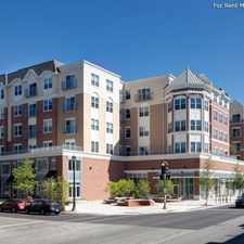
633 Clark Street
Some errands can be accomplished on foot.
A few nearby public transportation options.
Score Details
633 Clark Street has a Walk Score of 58 out of 100. This location is Somewhat Walkable so some errands can be accomplished on foot.
633 Clark Street is a 12 minute walk from the Purple Line at the Noyes stop.
This location is in Evanston. Nearby parks include Deering Meadow, Philbrick Park and Firemans Park.
Explore how far you can travel by car, bus, bike and foot from 633 Clark Street.
633 Clark Street has some transit which means a few nearby public transportation options. Car sharing is available from I-GO, Zipcar, RelayRides and Getaround.
Rail lines:
Purple Line
0.4 mi
UP-N Union Pacific North
0.8 mi
Bus lines:
201 Central/Ridge
0.1 mi
93 California/Dodge
0.6 mi
205 Chicago/Golf
0.6 mi
Car shares:
This location is in the city of Evanston, IL. Evanston has an average Walk Score of 74 and has 74,486 residents.

Merrick Rose Garden
Raymond Park
Raymond Park


If you are using a screen reader or having trouble reading this website, please call Walk Score customer service at (253) 256-1634.
© 2024 Walk Score